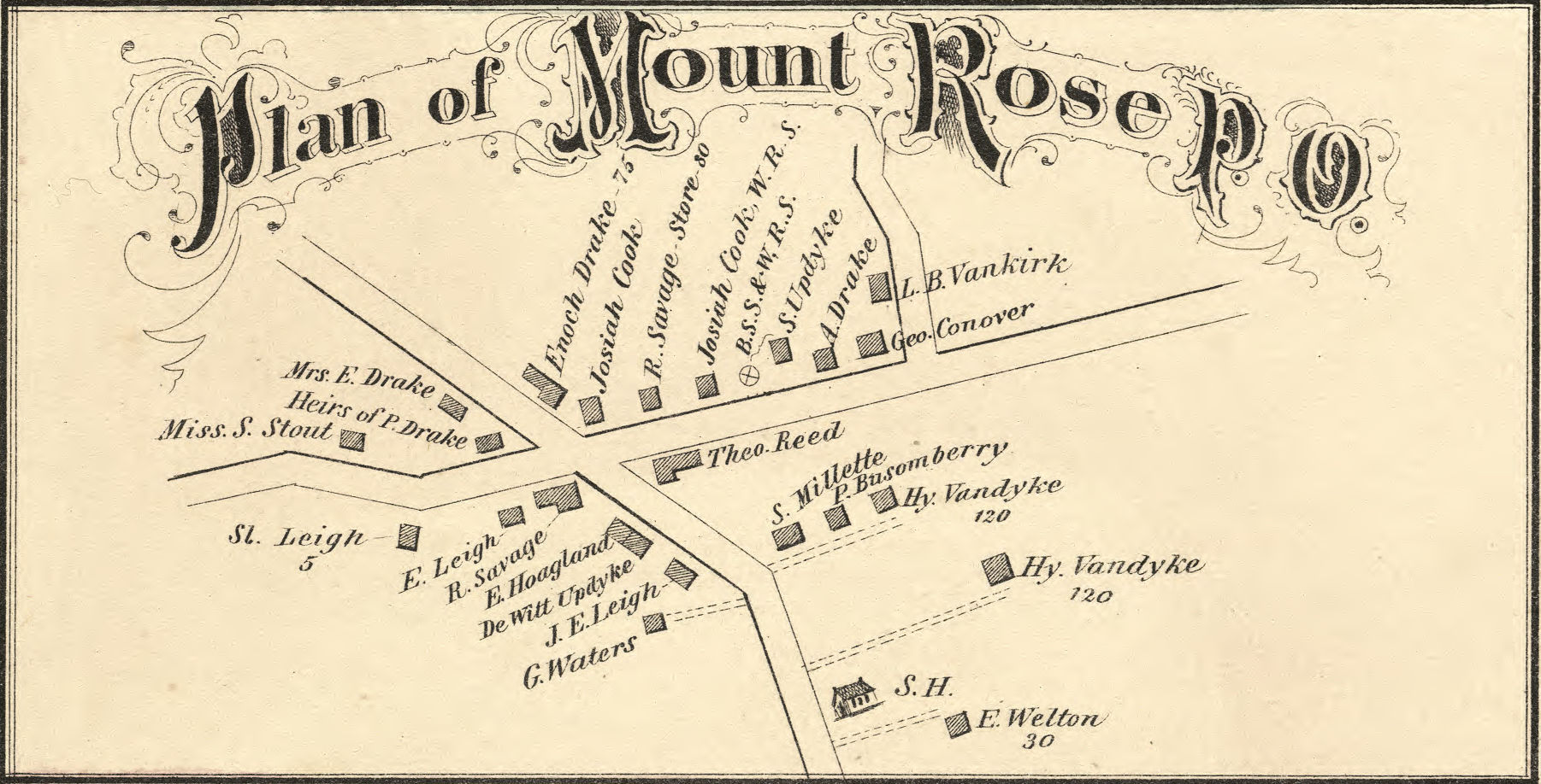
Map of Mount Rose
From Combination Atlas Map of Mercer County, N.J.
“New Historical Atlas”
Compiled and drawn by Oliver F. Waegon. Scale: 1 mile to 0.5 inch.
Everts & Stewart, Philadelphia, 1875
Tag – MtRose
File – 1875-Mercer-Atlas-Everts-Stewart-MtRose-LoC.jpg
Hopewell Valley History Project
Preserving Our History