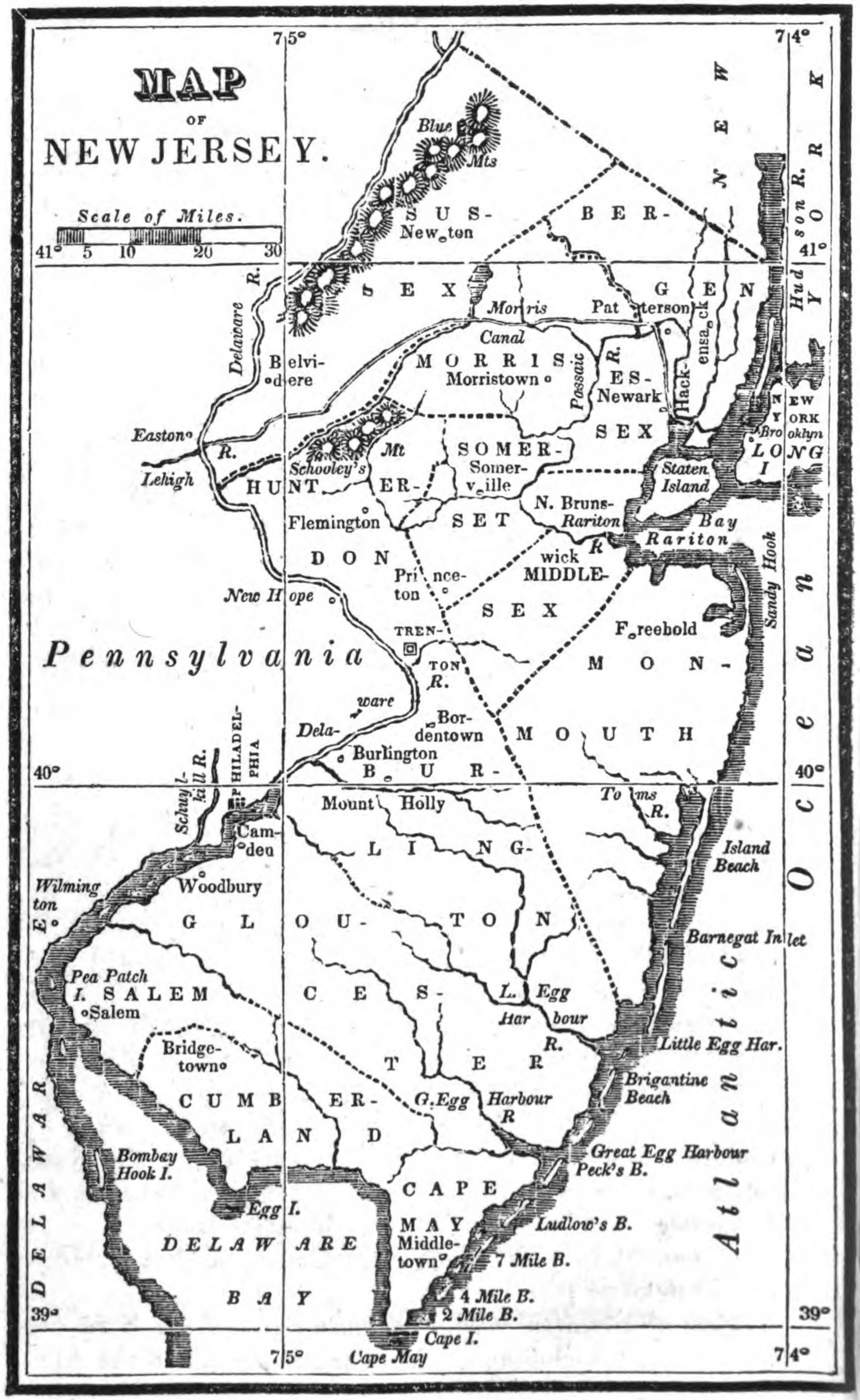
Map of New Jersey (1830) – Hale
Black and white, Approx. 6.25 x 3.75 in. to neatline
Hunterdon Co, before Mercer Co. [1838]
County lines – Flemington / Princeton (Somerset Co.) / Trenton (Hunterdon Co.)
Some towns and topographical detail, including Blue Mts (NW)
in An Epitome of Universal Geography (1830) – Hale
Tag – NJ
File – 1830-NJ-Hale-Universal-Geography-Google.jpg