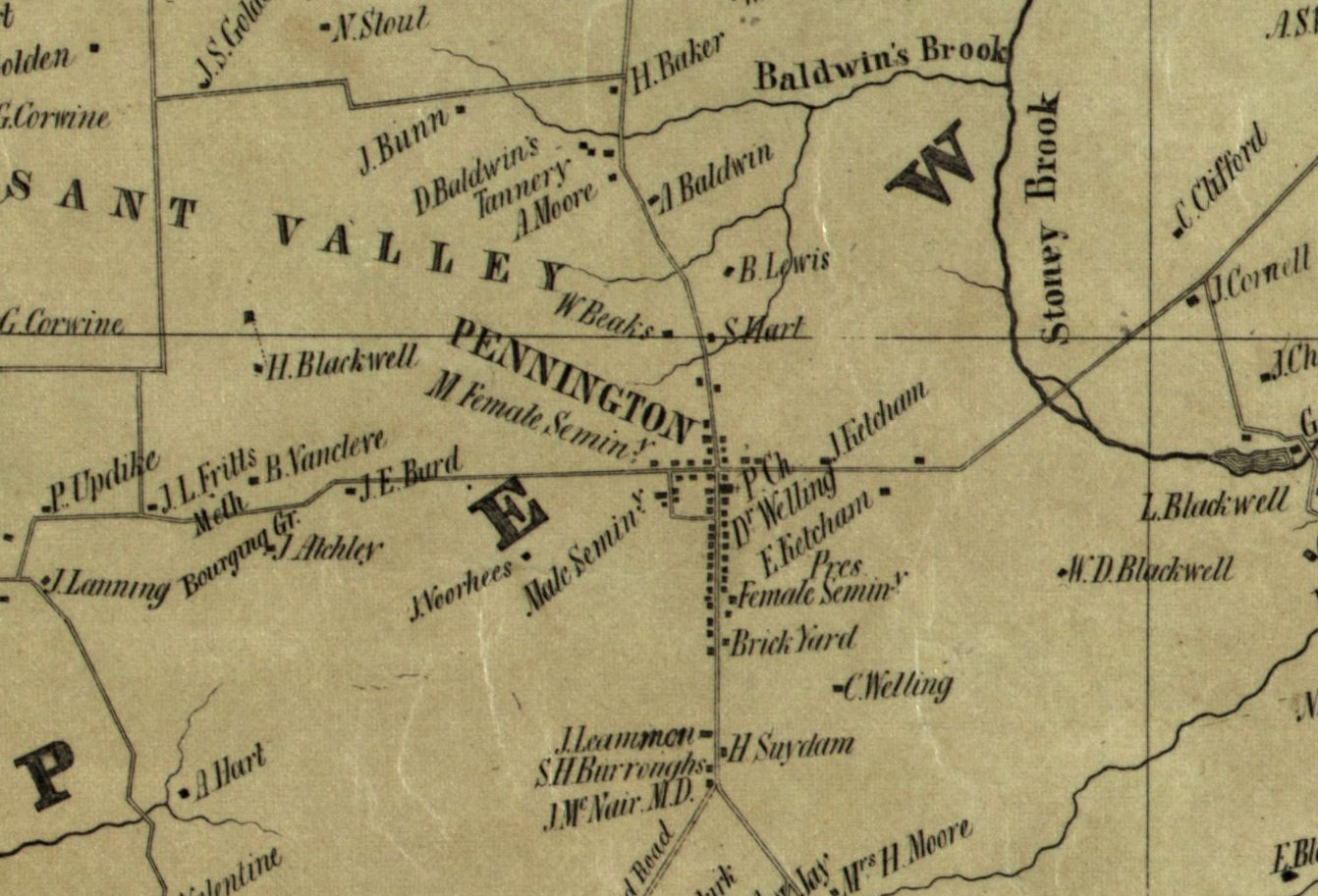
Pennington area – detail
Map of Mercer County New Jersey Entirely from Original Surveys (1849)
From original survey by J.W. Otley and J. Keily, surveyors
Camden, N.J. : L. van der Veer, publisher, 1849
Wall map, with ornamental border and added color, 78 × 99 cm. Scale: 1 mile to 1.5 inches
Reproduced by the Hopewell Valley Historical Society, 1992 [HVHS]
Tag – PennBoro
File – 1849-MercerCty-Otley-Keily-LoC-PennBoro.jpg
Hopewell Valley History Project
Preserving Our History